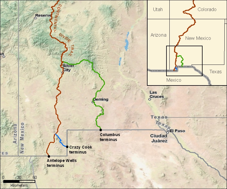
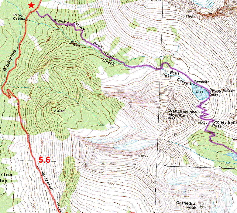
 The Continental Divide Trail is like a “choose your own adventure” story. It has two places to start in Montana and three places to finish in New Mexico. Throughout the rest of the trail, there are tons of choices where you can go over the top of mountains, or through the valleys. To help navigate these choices, I will be carrying a variety of maps.
A hiker named Jonathan Ley started a great resource in 2001. He took the USGS 24k topographical maps of the US and pared them down to exactly the amount you need to follow the trail. When there are alternatives, he included maps of those too. The trick is that the maps don’t necessarily show the CDT, so he had to overlay his idea of where the trail actually went. And since the trail is unfinished, he has to update it every year based on what sections of trail get completed… and sometimes when fires burn through, the trail gets rerouted and that has to get inputted too. Ley does this all for free, which is truly amazing. To get a copy of the maps, you simply have to ask him.
 The only real downside to the Ley maps is that they’re so “zoomed in” that if you get lost at all, you’ll be off his maps very quickly. To combat that, I have to carry some maps for each section that provide an overview of the area. Ideally, they would show the major roads and trailheads nearby too, so if I get hurt I can find my way to civilization. I originally intended to carry big road atlas map pages to cover me here.
Since PresiNET agreed to sponser me, one of their contributions was an iPhone so I could continue this blog as I hike. I’ve discovered that it can easily handle the job of providing overview maps (especially since I don’t expect to need them very often). As a bonus, an iPhone also has a built-in GPS receiver, so it can pinpoint me on these maps when I do get lost.
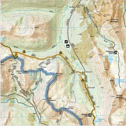
 In some areas, I expect that my hike will take me far off the CDT. The best example of this is through parts of southern Colorado. By the time I get there, winter will be approaching, and snow is almost certain. If I want to stay on the CDT, I would have to arrange to have my snowshoes sent to me. Fortunately, there are many existing trails in Colorado, so the possibilities of avoiding the snow are endless. I have purchased some very pretty National Geographic maps of the area that will hopefully allow me to find a way through.

Are you going to keep your iPhone off most of the time and only turn it on if you are lost or blogging? How will you charge it? Solar?
At the start, my plan is to keep it off and charge it when I’m in towns. If that doesn’t seem to give me enough juice, I’m going to buy a charger that eats AA Lithiums – apparently one AA gets you ~1 iPhone charge. I’ve seen decent solar solutions, but the good ones tend to be $$$, so I’m just going to skip that.